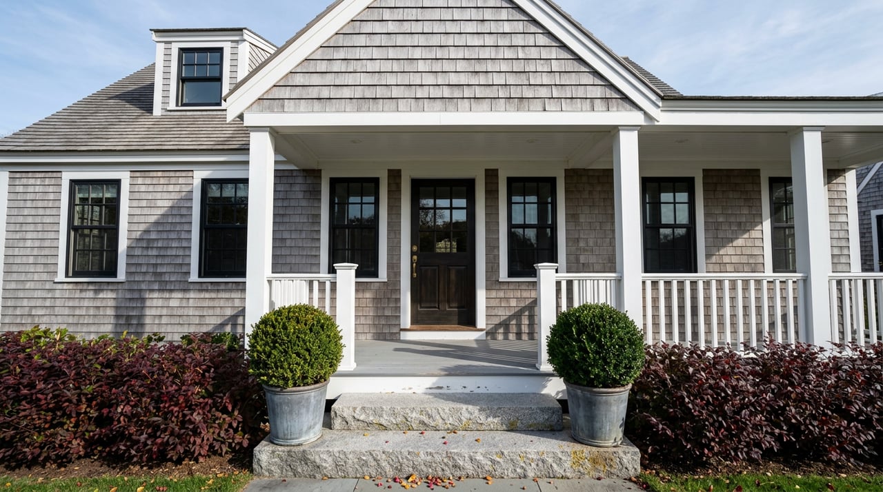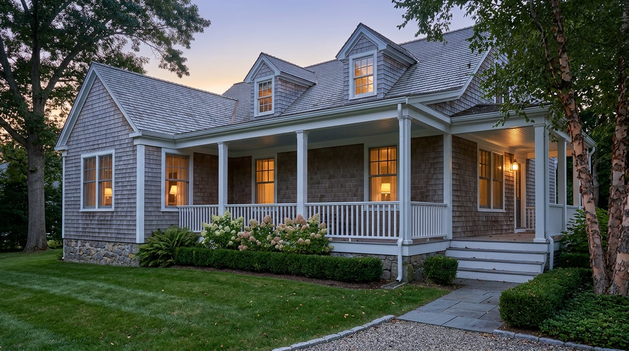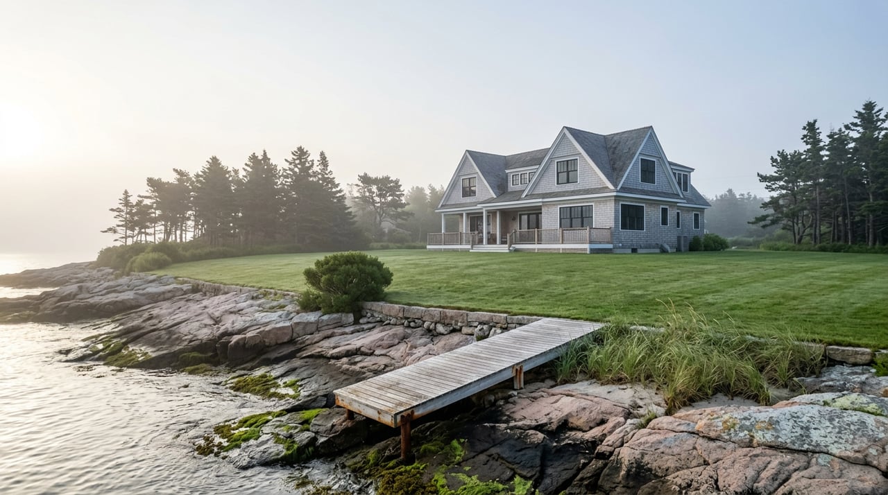
Two listings came onto the York Harbor market this year within walking distance of each other. Both call themselves waterfront. Both show the harbor from the porch. One describes a lot that grows from roughly three acres at high tide to more than seven acres once the tide drops, folding in a small offshore parcel called Pumpkin Island. The other, closer to Long Sands Beach, leads with a phrase buyers don't always know to look for: deeded beach rights.
Neither phrase is decoration. In Maine, and specifically in a harbor town where rocky frontage, tidal flats, and small offshore ledges are part of the daily geography, the words on the listing sheet are doing legal work most buyers never think to check. The question underneath both of those listings is the same one every waterfront buyer in York Harbor eventually has to answer: does your deed actually say you own what the tide uncovers, or does it just say you own up to where the water usually sits?
Why the Same Word Covers Two Different Deeds
Maine is one of the few coastal states where private ownership of the shore can extend all the way to the low-water mark instead of stopping where most states draw the line, at the high-water mark with the state holding the rest in public trust. That right traces back to a 1647 Massachusetts Bay Colony ordinance, adopted while Maine was still part of Massachusetts, that pushed private title seaward to encourage wharves and shipping. The public kept a narrow easement for fishing, fowling, and navigation. Everything else, in theory, went to the upland owner.
In theory is the operative phrase, because what a deed actually conveys depends entirely on how it's worded. A Portland law firm that handles waterfront title work put it plainly in a client explainer: a deed describing a boundary as running "to the shore" stops at the high-water mark under Maine case law. It does not automatically reach the low-water mark. To convey the tidal flats themselves, the deed needs specific language, a grant to the low-water line or the equivalent, or a third party, sometimes the state, sometimes an heir of the original grantor no one has heard from in a century, may still hold title to the sand and rock between the tides.
That's the gap the two York Harbor listings are quietly navigating in opposite directions. The Pumpkin Island property is marketed by its acreage at low tide, which only means something if the deed actually reaches that far. The Long Sands-adjacent listing calls out deeded beach rights specifically because, without that phrase doing work in the actual deed, a buyer would have no reliable claim to the beach in front of the house at all.
A County Where This Keeps Getting Tested, Not Settled
This isn't a settled footnote from centuries ago. Maine's courts have kept revisiting it because the stakes keep rising with waterfront values. The Maine Supreme Judicial Court's 1989 ruling in Bell v. Town of Wells, the case that grew out of a fight over Moody Beach, confirmed the private-ownership doctrine and limited the public's intertidal rights to fishing, fowling, and navigation, nothing broader.
York County saw its own version of this fight play out over Goose Rocks Beach in Kennebunkport. In Almeder v. Town of Kennebunkport, the Law Court stopped presuming that upland owners automatically hold the flats in front of their homes. Ownership now has to be proven through an unbroken chain of deeds reaching back far enough to show the intertidal grant was actually made, not assumed. That shift matters for anyone buying waterfront anywhere in York County, including York Harbor: a title search that stops at the current owner's deed and doesn't trace the chain back may miss exactly the gap that decides whether the flats are yours.
The doctrine keeps getting challenged in court, most recently in a 2022 Cumberland County ruling that reaffirmed private ownership of the intertidal zone while leaving the scope of allowed activity there unresolved, according to reporting from NewsCenter Maine. The law has held for buyers so far. The fact that it keeps ending up in court is itself useful information: this isn't a dusty rule nobody argues about anymore.
Why the Median Price Won't Tell You Any of This
York Harbor's price data over the past year makes an easy but misleading story. The median sale price over the three months ending in June 2026 was $790,000, down 21 percent from the same period a year earlier. Price per square foot sat at $428, down about 5 percent. Homes were selling in an average of 49 days, down sharply from 84 days the year before. Only 19 homes closed in June 2026, essentially flat against the 20 that closed in June 2025.
Read as a trend line, that looks like a market cooling on price while somehow accelerating on speed, which is a strange combination until you remember what a 19-sale month actually is: a small enough sample that one or two unusual closings, a stripped-down cottage sale here, an estate sale there, can swing the median by six figures without reflecting anything about direction. York Harbor doesn't sell enough homes in a given month for its median to behave like a stable indicator. It behaves like what it is, a snapshot of whatever happened to close.
That volatility matters for the deed question, not just as a caution about reading headlines too literally. A median price per square foot treats every square foot of living space as comparable, which it can be. It says nothing about what's attached to the lot below the waterline, because square footage of the house has no relationship to whether the deed reaches the low-water mark. Two homes can post identical numbers on that metric and carry entirely different bundles of rights once you look at what's actually described in the registry. The price per square foot is the wrong instrument for the question that decides value at the water's edge.
Faster closings compound the problem. Forty-nine days is not much runway to order a title search, trace the chain of deeds back far enough to satisfy the Almeder standard, and commission a survey locating the mean high-water mark if the property's history calls for one. In a slower market, that timeline has room to breathe. In a market moving toward 49 days, the diligence has to start before an offer goes in, not after it's accepted.
What to Check Before an Offer Goes In
A few steps apply specifically to water-facing property in York Harbor, and they're worth doing in this order:
- Read the deed's exact water-boundary language. Look for whether it says "to the shore," "to the low-water mark," or something else entirely. The wording is the whole answer to what's conveyed.
- Ask for the chain of title, not just the current deed. Under the Almeder standard, ownership of the flats has to be shown through the history of grants, not assumed from the present owner's paperwork alone.
- Get a survey that locates the mean high-water mark, not just the visible waterline on the day you looked at the house. Tide lines move with the season and the weather; a proper survey uses tidal datum, not a snapshot.
- Check for beach association bylaws or recorded easements if the property sits near a shared beach or private way. A path that's been used for generations isn't automatically a legal right of access.
- Confirm mooring and dock rights separately. Owning the flats doesn't automatically include permission to install a dock or hold a mooring; those typically run through the local harbor master and separate permitting.
None of this is a reason to walk away from York Harbor's waterfront market. It's a reason to build the timeline for due diligence assuming these questions exist, rather than discovering them during a 49-day closing window when there's no time left to answer them properly.
A Few Questions Worth Asking Directly
Does this apply to every waterfront property in York Harbor, or just the ones with tidal flats? It applies most directly wherever a deed's water boundary touches tidal water and the description uses boundary language like "to the shore." Properties on ledge, rock, or deep water close to a bulkhead may have less exposed flat, but the deed question is the same: what does the specific language say the boundary reaches.
Is this different for a property on a pond or river instead of the ocean? Great ponds and tidal rivers carry their own boundary rules under Maine law, related but not identical to ocean tidal boundary questions. A property on the Piscataqua or a York River inlet should get the same close read of its water-boundary language, ideally from someone who works with Maine coastal titles regularly.
Who actually resolves this, an agent or an attorney? An experienced local agent should flag the question and know which listings carry documented beach rights versus ambiguous language. Confirming the deed's legal reach and clearing title falls to a real estate attorney and, where the boundary itself is in question, a licensed surveyor. That's a team, not a solo effort.
York Harbor's Shingle-style cottages and working shoreline have always rewarded buyers who look past the porch view to the paperwork underneath it. The tide is honest about where the water sits twice a day. The deed is the only document that says who's allowed to stand there.
If you're weighing a waterfront property in York Harbor, or wondering what your own deed actually conveys, Great Seacoast Homes can walk through the specifics with you. Request a Personalized Home Valuation and we'll start with the questions that matter before you're staring down a closing date.